Goblin Vally
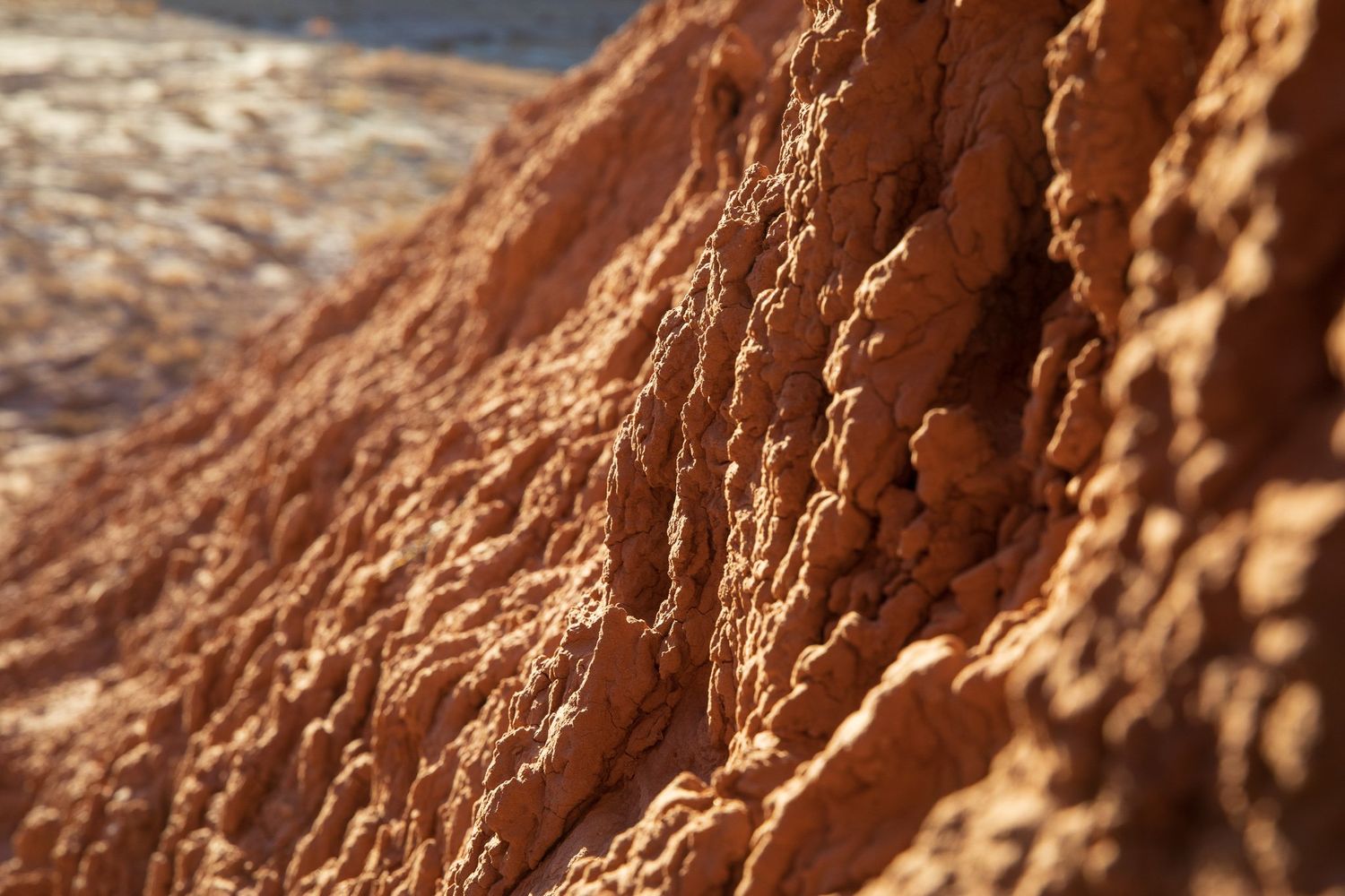
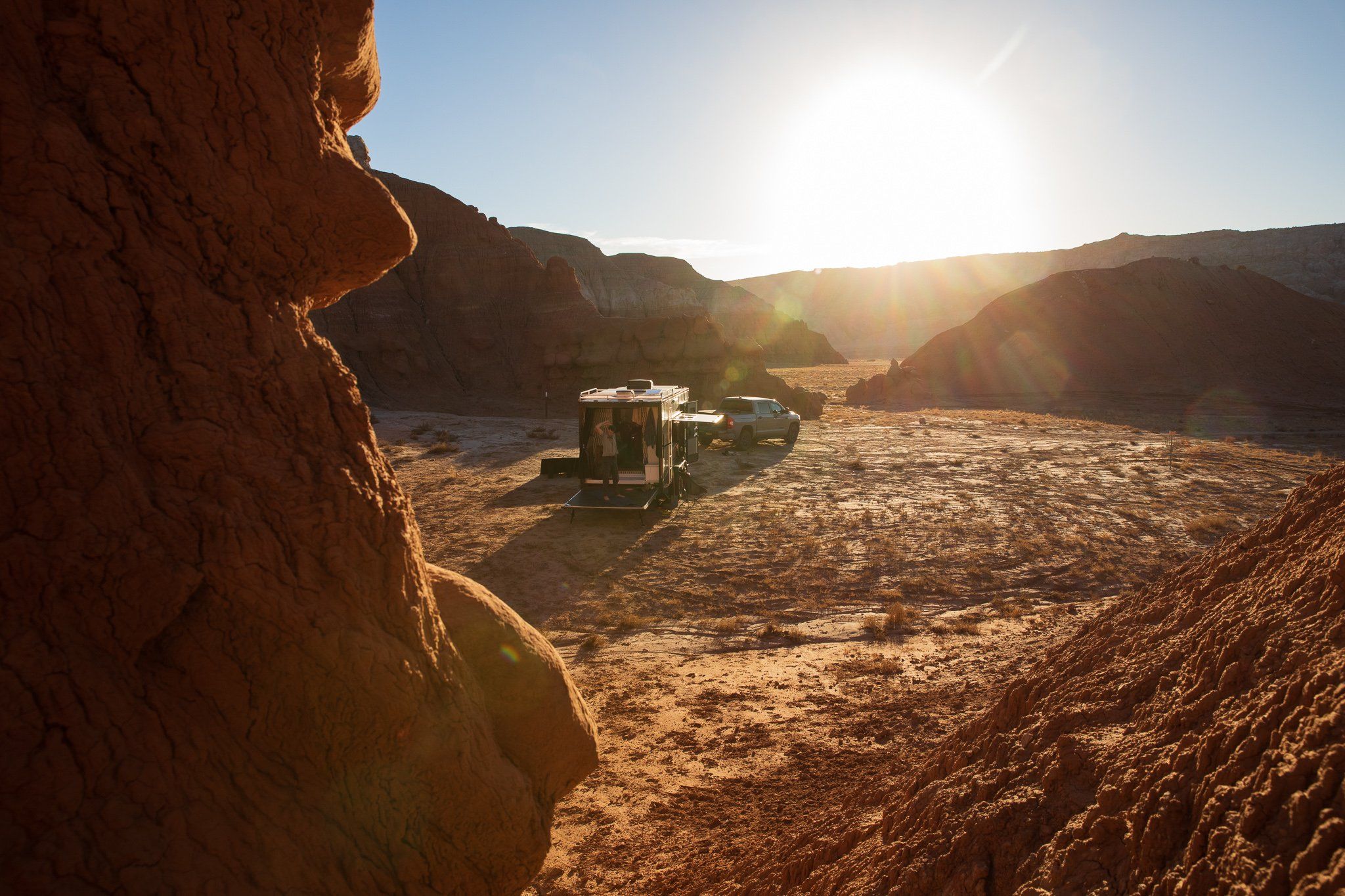
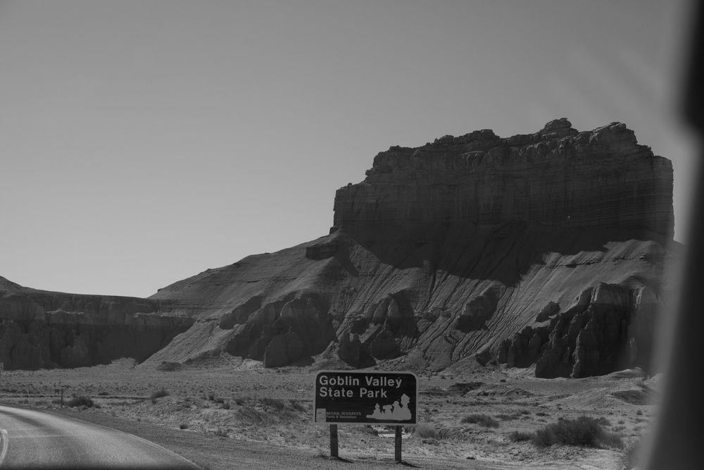
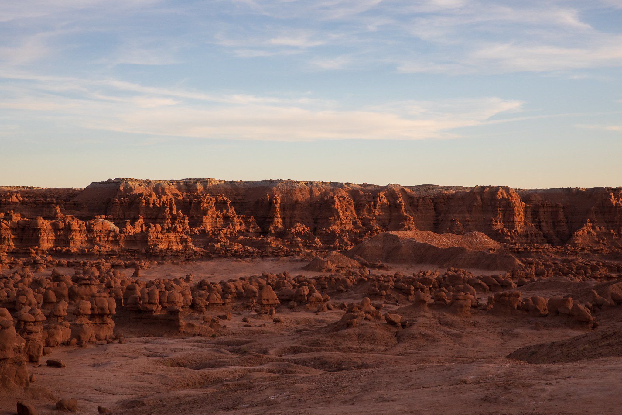
Goblin Valley State Park is a surreal desert landscape sculpted by time, water, and wind into an otherworldly playground of stone. The park’s signature formations—called hoodoos or more affectionately, “goblins”—are composed of Entrada Sandstone, deposited around 170 million years ago during the Jurassic period when the region was covered by tidal flats and coastal sand dunes. Over millions of years, uplift and erosion wore away the softer material, leaving behind thousands of mushroom-shaped rock pillars with bulbous heads and narrow stems. Unlike taller hoodoos found in Bryce Canyon, Goblin Valley’s formations are shorter and more rounded, clustered across a broad valley that once sat buried beneath layers of sediment and time. The process of differential erosion continues today, slowly reshaping the landscape one storm and wind gust at a time—making the valley feel like a moment captured mid-transformation.
Historically, Goblin Valley lies within the ancestral homelands of the Fremont culture, a prehistoric people who lived throughout the Colorado Plateau between 300 and 1300 CE. Though there is limited archaeological evidence within the park itself, nearby regions are rich with rock art, granaries, and pit houses, revealing a culture deeply attuned to the arid environment. For centuries after the Fremont moved on, the area remained largely unknown to outsiders until cowboys stumbled upon the bizarre landscape in the late 1920s. Early reports compared the formations to goblins, leading to its informal name and eventual recognition. In 1964, Utah designated it as a state park, protecting its fragile features from overuse. Today, Goblin Valley remains both a geological curiosity and a reminder of how landscapes can shape the imagination, standing at the crossroads of deep natural history and fleeting human encounter.
Arches National Park
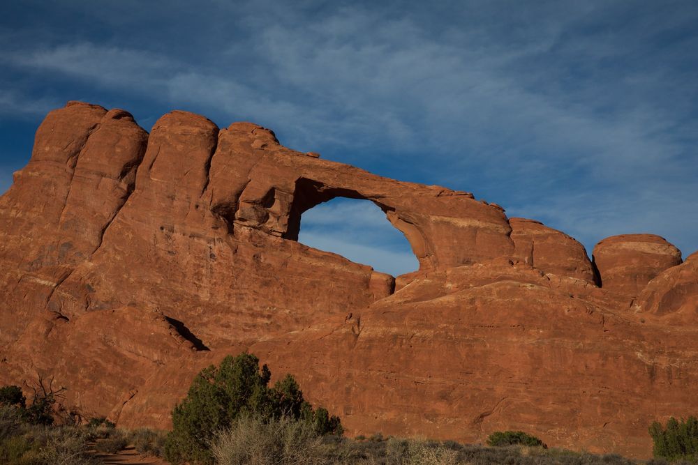
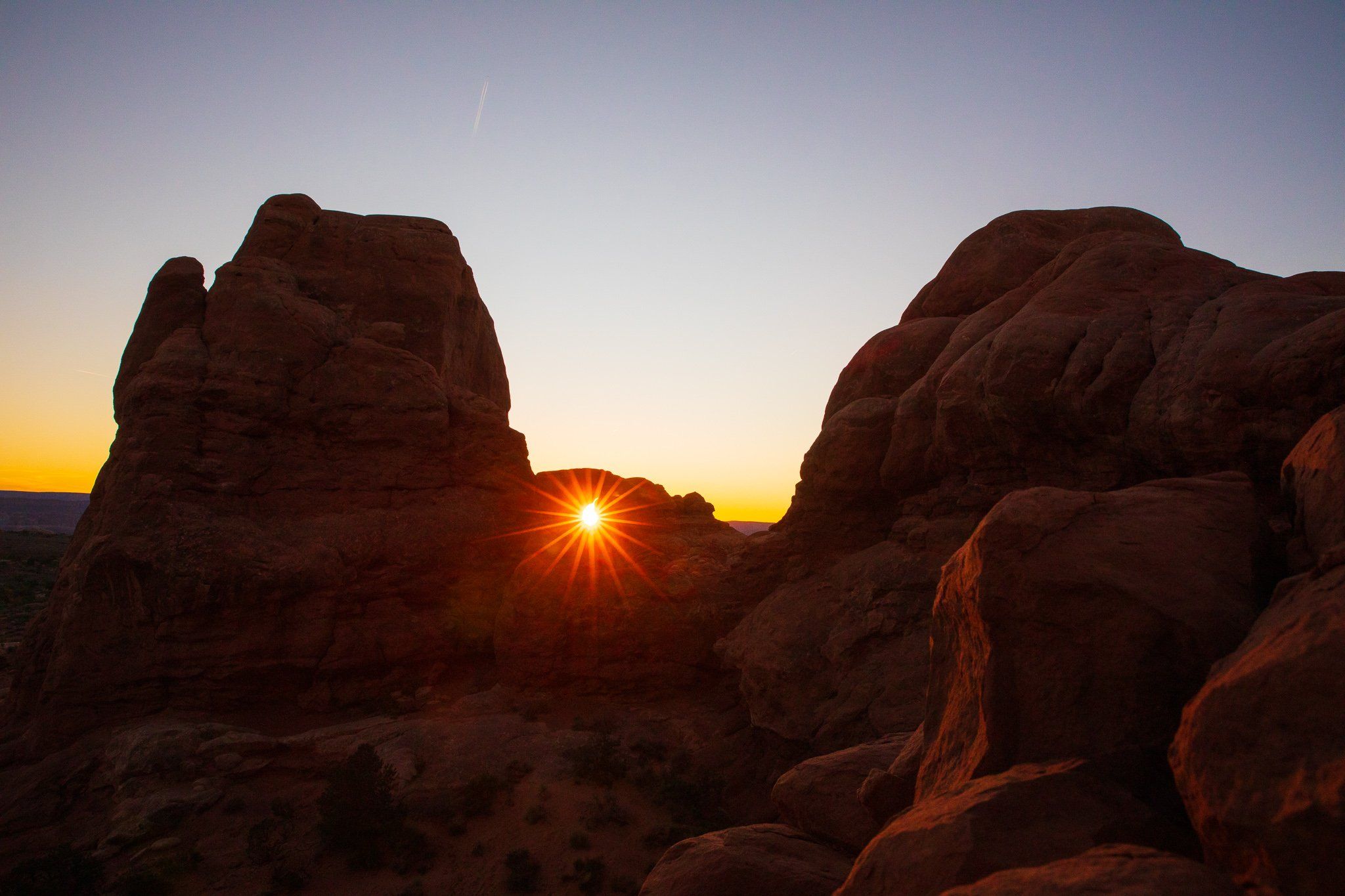
Arches National Park is home to the highest concentration of natural stone arches in the world—over 2,000 and counting—formed through a complex geologic story of uplift, erosion, and time. The park sits atop a subsurface layer of salt beds, deposited nearly 300 million years ago when an ancient sea evaporated. As younger sedimentary layers, including the Entrada and Navajo Sandstones, built up over time, the unstable salt layer shifted, buckled, and fractured the rock above. Over millions of years, water, wind, and freezing temperatures exploited these fractures, carving out fins and eventually hollowing them into arches. The result is a landscape of improbable geometry—delicate spans, towering columns, and balanced rocks—where each formation is a snapshot of ongoing erosion in motion. These arches are not static relics; they are temporary, geologic moments in a constantly shifting desert.
Human history in the Arches region stretches back thousands of years. The Ancestral Puebloans and Fremont peoples left behind petroglyphs, pictographs, and evidence of seasonal use, drawn to the area’s water sources and sheltering alcoves. Later, Ute and Paiute tribes maintained deep cultural ties to the land, which they continue to honor today. In the late 1800s, ranchers, prospectors, and explorers began mapping the area, often unaware of the sacred and historic significance it held. Arches was designated a national monument in 1929 and became a national park in 1971, spurred by efforts to protect its fragile, irreplaceable formations. Today, as climate change, tourism, and development pressures increase, Arches stands not only as a natural wonder but as a space of stewardship—where understanding the science of erosion and honoring the history of human connection are equally essential to its future.
Dinosaur National Monument
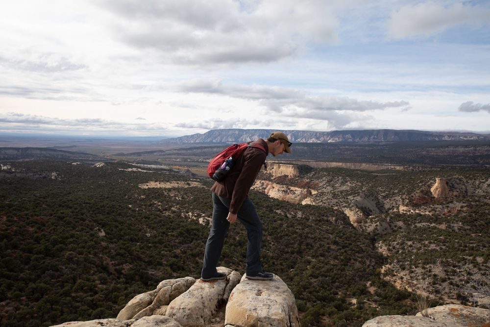
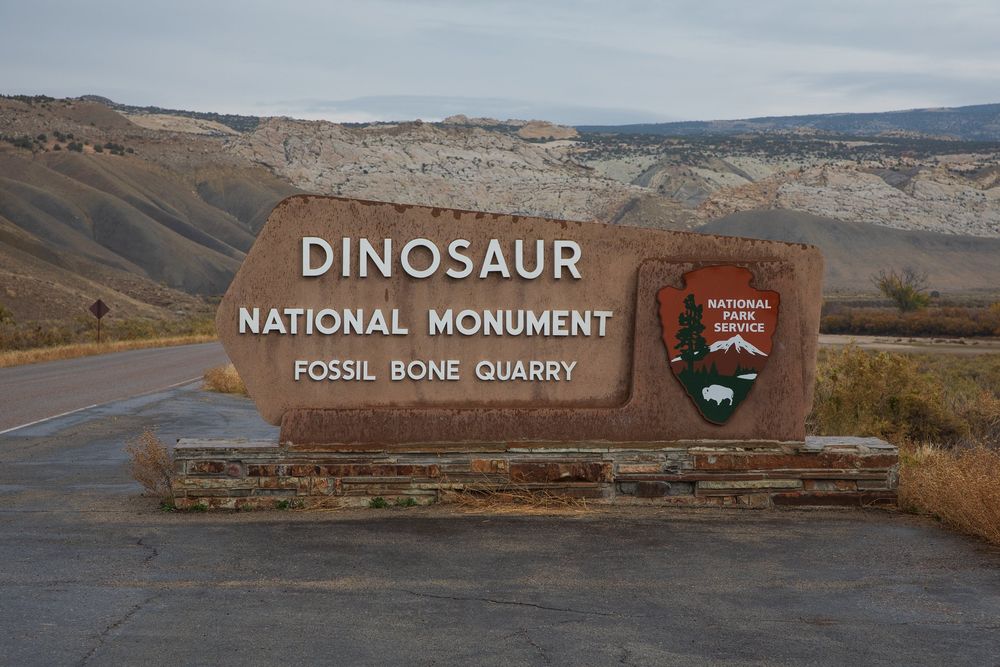
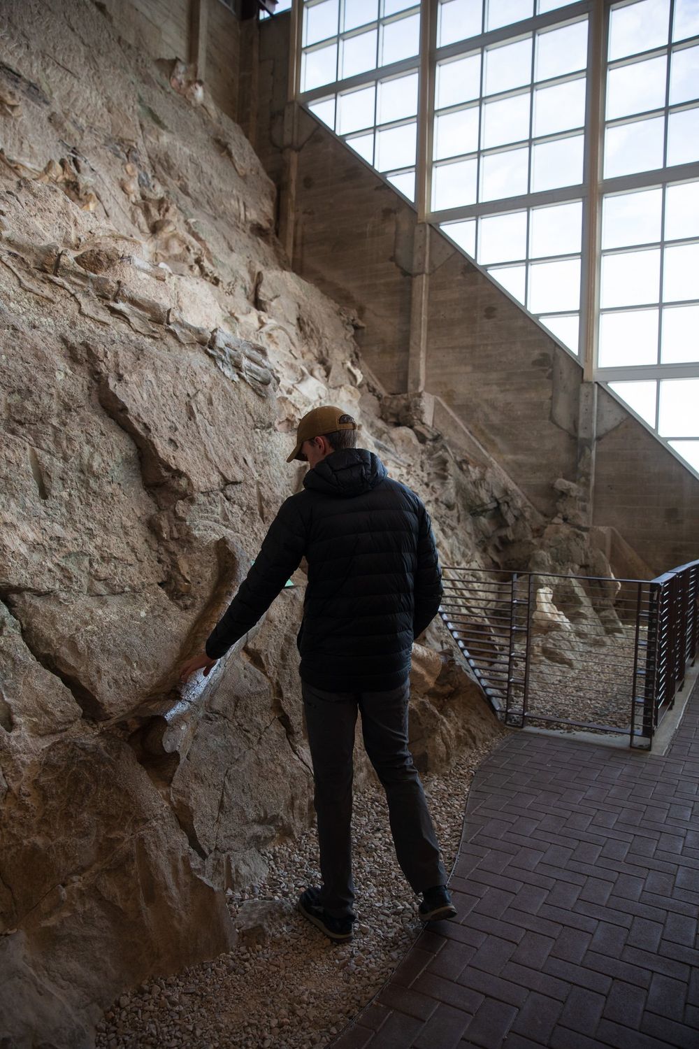
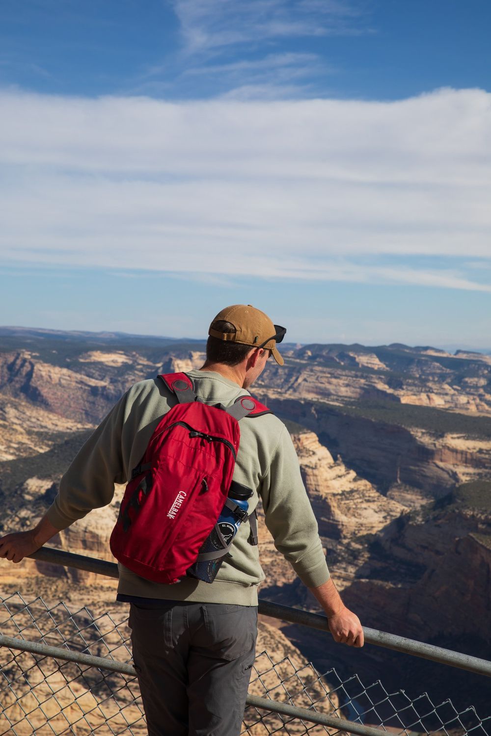
Dinosaur National Monument is a place where deep time is written in stone—and where some of Earth’s most dramatic stories are preserved in fossil and cliff. Straddling the border of Utah and Colorado, the monument is famous for its exposed Jurassic-era fossil beds, especially at the Carnegie Quarry, where over 1,500 dinosaur bones are still embedded in a tilted rock wall. These remains—of creatures like Allosaurus, Stegosaurus, and Diplodocus—were buried in river sediments roughly 150 million years ago, then gradually exposed through uplift and erosion. But the geology here goes even deeper: the towering cliffs of the Uinta and Split Mountain Anticlines reveal layers of ancient rock bent and buckled by tectonic forces, showcasing over a billion years of Earth’s history in visible cross-section. Canyons carved by the Green and Yampa Rivers cut through this geological archive, continuing the work of time and water with each passing season.
Human history in the monument is just as layered. The region has been inhabited for over 10,000 years, beginning with Paleo-Indian hunter-gatherers and later by the Fremont people, whose petroglyphs and pictographs still adorn canyon walls. These images—bighorn sheep, spirals, and abstract forms—offer insight into cosmology, community, and survival in a rugged, high-desert environment. The Ute and Shoshone peoples followed, maintaining deep cultural connections to the land long before paleontologists arrived in the early 20th century to excavate its fossil treasures. Designated a national monument in 1915 to protect its unique dinosaur quarry, the park has since expanded to encompass vast wilderness, historical homesteads, and sacred Indigenous sites. Today, Dinosaur National Monument stands at the intersection of paleontology, geology, and cultural heritage—a place where science and story converge, and where the ground beneath your feet speaks across eons.
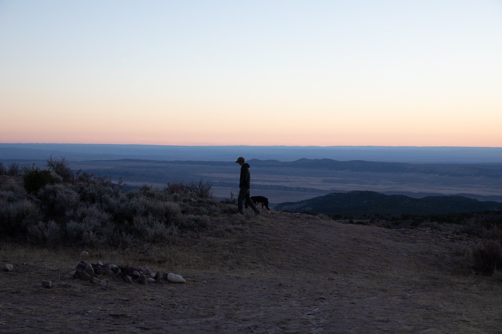
9 Mile Canyon
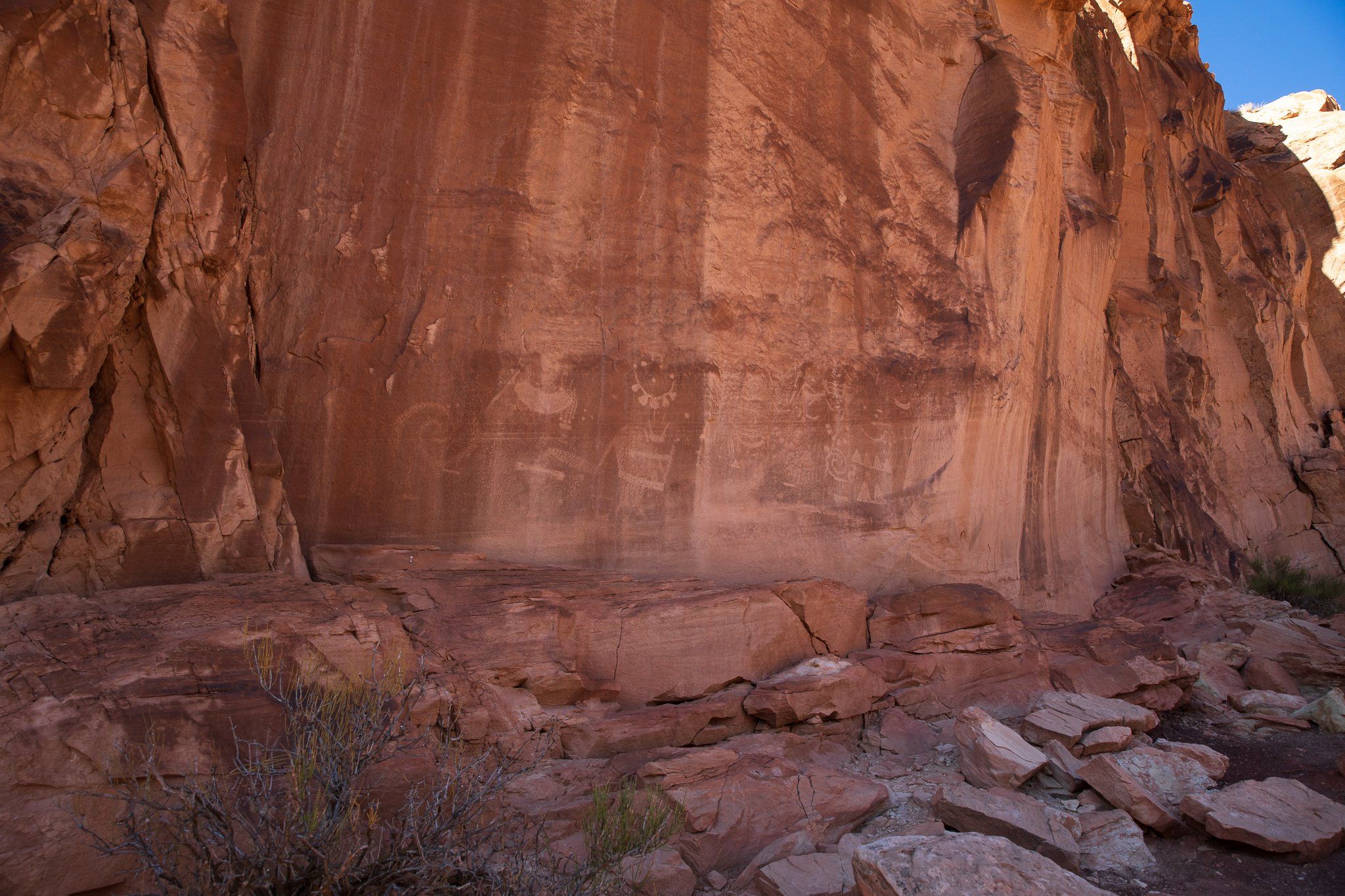
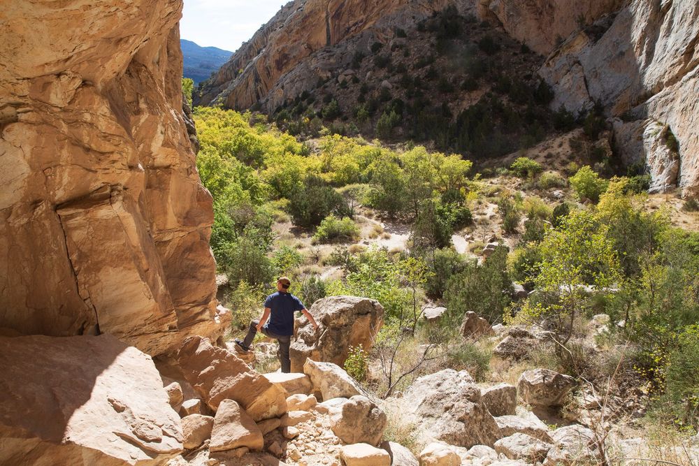
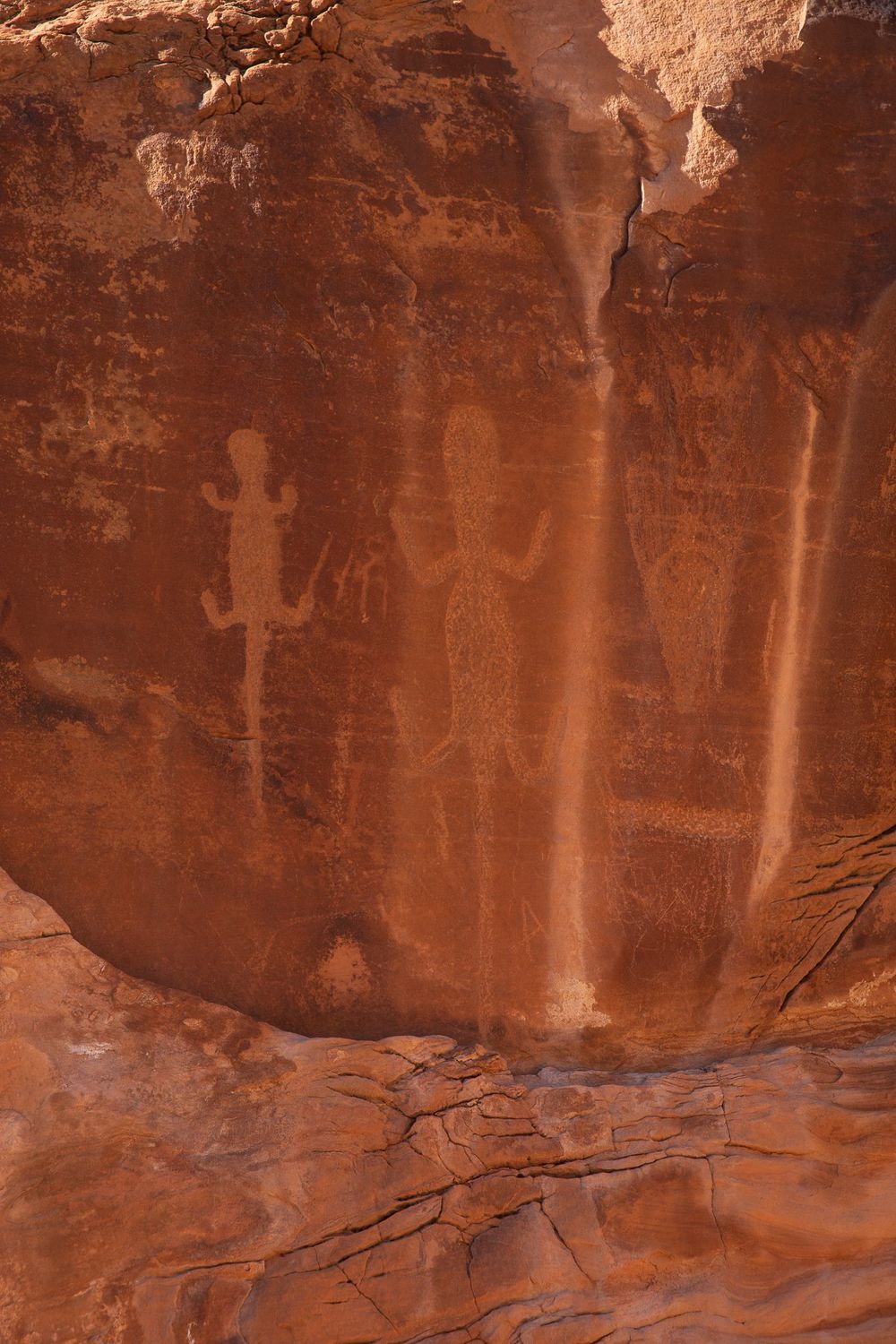
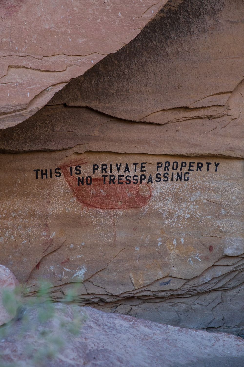
Nine Mile Canyon is often called the "world’s longest art gallery," home to tens of thousands of petroglyphs and pictographs etched into the sandstone walls of a winding, 46-mile canyon in eastern Utah. Though not a national or state park, the canyon is a geological wonder in its own right—carved through the Uinta Basin by seasonal creeks and layered with sedimentary rock deposited during the late Paleozoic and Mesozoic eras. Its high desert ecosystem supports sagebrush, piñon, juniper, and a surprising diversity of wildlife, shaped by the canyon’s unique microclimate and elevation. The sheer number and complexity of rock art panels, many created by the Fremont people over 1,000 years ago, make Nine Mile an extraordinary window into prehistoric life. Hunting scenes, family groups, spirals, and animal figures stretch across cliff faces—some strikingly well-preserved, others fading slowly into the sandstone from which they were carved.
But Nine Mile Canyon is more than an open-air museum; it’s also a battleground of politics, preservation, and competing land use. The area is situated on public and private lands, and while it’s rich in cultural history, it also sits atop significant natural gas reserves. In recent decades, energy development—particularly the construction of industrial roads and extraction infrastructure—has threatened both the rock art and the fragile canyon environment. Dust, vibration, and increased vehicle traffic have raised alarms among archaeologists, tribal nations, conservationists, and historians alike. Indigenous groups, including the Ute and Navajo, have called for stronger protections, recognizing the canyon as a sacred cultural landscape, not just an archaeological site. Efforts to balance heritage preservation with resource development continue to define the future of Nine Mile Canyon—making it a powerful case study in how ancient voices and modern pressures converge in the American West.